
Foraker topographic map
Interactive map
Click on the map to display elevation.
About this map
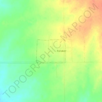
Name: Foraker topographic map, elevation, terrain.
Location: Foraker, Osage County, Oklahoma, United States (36.86920 -96.57403 36.87525 -96.56428)
Average elevation: 385 m
Minimum elevation: 363 m
Maximum elevation: 405 m
Other topographic maps
Click on a map to view its topography, its elevation and its terrain.
Skiatook
United States > Oklahoma > Osage County
Skiatook, Osage County, Oklahoma, 74070, United States
Average elevation: 222 m
Fairfax
United States > Oklahoma > Osage County
Fairfax, Osage County, Oklahoma, United States
Average elevation: 259 m
Herd
United States > Oklahoma > Osage County
Herd, Osage County, Oklahoma, United States
Average elevation: 287 m
Osage County
United States > Oklahoma > Osage County
Osage County, Oklahoma, United States
Average elevation: 277 m