
Telaga Sari topographic map
Interactive map
Click on the map to display elevation.
About this map
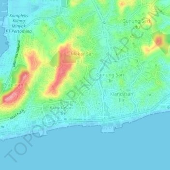
Name: Telaga Sari topographic map, elevation, terrain.
Location: Telaga Sari, East Kalimantan, 76112, Indonesia (-1.28878 116.81392 -1.24878 116.85392)
Average elevation: 22 m
Minimum elevation: 0 m
Maximum elevation: 94 m