
Umber topographic map
Interactive map
Click on the map to display elevation.
About this map
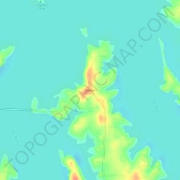
Name: Umber topographic map, elevation, terrain.
Location: Umber, Cedar County, Missouri, United States (37.60476 -93.77549 37.64476 -93.73549)
Average elevation: 268 m
Minimum elevation: 259 m
Maximum elevation: 301 m