
Montilla topographic map
Interactive map
Click on the map to display elevation.
About this map
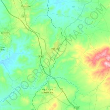
Name: Montilla topographic map, elevation, terrain.
Location: Montilla, Cordova, Andalusia, 14550, Spain (37.50596 -4.74700 37.63671 -4.52894)
Average elevation: 314 m
Minimum elevation: 177 m
Maximum elevation: 688 m