
10th of Ramadan topographic map
Interactive map
Click on the map to display elevation.
About this map
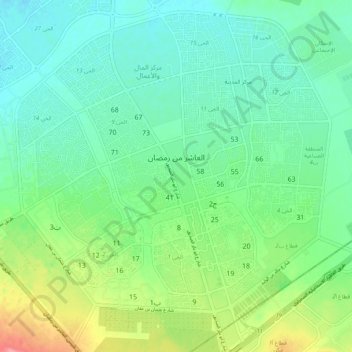
Name: 10th of Ramadan topographic map, elevation, terrain.
Location: 10th of Ramadan, Eastern, Egypt (30.26764 31.68133 30.35338 31.78586)
Average elevation: 104 m
Minimum elevation: 77 m
Maximum elevation: 172 m
Other topographic maps
Click on a map to view its topography, its elevation and its terrain.
Manshiyat al Sawamah
Manshiyat al Sawamah, Eastern, 44768, Egypt
Average elevation: 6 m
Abu Hammad al Mahattah
Abu Hammad al Mahattah, Eastern, 44661, Egypt
Average elevation: 9 m