
Livonia topographic map
Interactive map
Click on the map to display elevation.
About this map
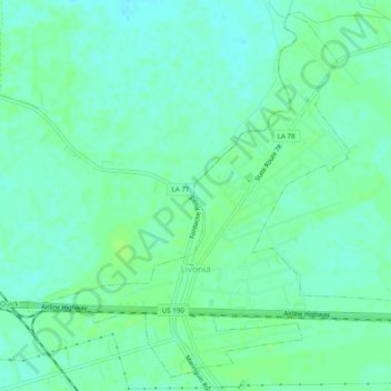
Name: Livonia topographic map, elevation, terrain.
Average elevation: 8 m
Minimum elevation: 3 m
Maximum elevation: 12 m
Other topographic maps
Click on a map to view its topography, its elevation and its terrain.
New Roads
United States > Louisiana > Pointe Coupee Parish
New Roads, Pointe Coupee Parish, Louisiana, United States
Average elevation: 10 m