
Monmouth topographic map
Interactive map
Click on the map to display elevation.
About this map
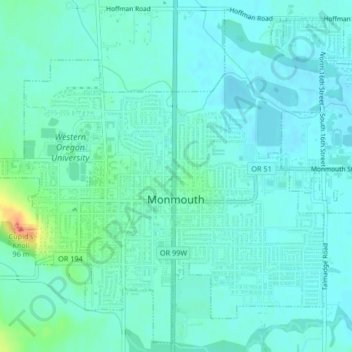
Name: Monmouth topographic map, elevation, terrain.
Location: Monmouth, Polk County, Oregon, 97361, United States (44.83663 -123.25067 44.86455 -123.20929)
Average elevation: 58 m
Minimum elevation: 49 m
Maximum elevation: 97 m