
arrondissement de Mers Sultan مقاطعة مرس السلطان topographic map
Interactive map
Click on the map to display elevation.
About this map
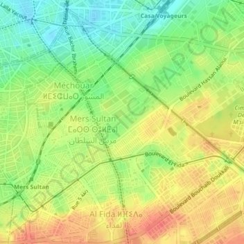
Name: arrondissement de Mers Sultan مقاطعة مرس السلطان topographic map, elevation, terrain.
Average elevation: 45 m
Minimum elevation: 18 m
Maximum elevation: 68 m