
Plamondon topographic map
Interactive map
Click on the map to display elevation.
About this map
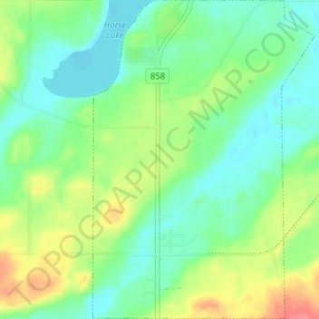
Name: Plamondon topographic map, elevation, terrain.
Location: Plamondon, Lac La Biche County, Alberta, T0A 2T0, Canada (54.84186 -112.35730 54.87828 -112.31327)
Average elevation: 562 m
Minimum elevation: 541 m
Maximum elevation: 602 m