Geolocate

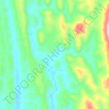
Sajek topographic map

Click on the map to display elevation.

Sajek

Sajek Valley (Bengali: সাজেক উপত্যকা) is a popular tourist spot in Bangladesh, situated among the hills of the Kasalong range of mountains in the northern area of the Chittagong Hill Tracts. Referred to as the "Queen of Hills" and the "Roof of Rangamati", the valley is known for its greenery and dense forests, situated at an elevation of 1,800 feet (550 m) above sea level.

Wikipedia (CC-BY-SA 3.0)

About this map

Name: Sajek topographic map, elevation, terrain.

Location: Sajek, Bagaichhari Upazila, Rangamati Hill District, Chittagong Division, 4590, Bangladesh (23.36572 92.27205 23.40572 92.31205)

Average elevation: 209 m

Minimum elevation: 82 m

Maximum elevation: 535 m

Gear up for your next adventure:

🗺️Scratch-off Peak Maps - Track your progress climbing Munros or Wainwrights
📻Hand-Crank Emergency Radios - Stay updated on weather warnings in remote areas
👖Convertible Hiking Trousers - Versatile zip-off pants for changing mountain weather conditions
🦶Anti-Blister Balms - Protect your feet before long topographic expeditions
🧗Locking Carabiners - Secure gear to your pack or for light technical use

As an Amazon Associate, this site earns from qualifying purchases at no extra cost to you.