
Semen topographic map
Interactive map
Click on the map to display elevation.
About this map
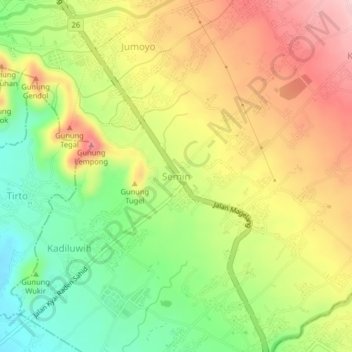
Name: Semen topographic map, elevation, terrain.
Location: Semen, Salam, Magelang, Central Java, Java, 56483, Indonesia (-7.64335 110.29309 -7.60335 110.33309)
Average elevation: 362 m
Minimum elevation: 261 m
Maximum elevation: 467 m