Geolocate

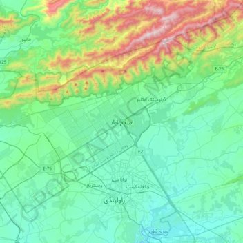
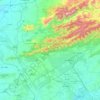
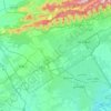
Islamabad topographic map

Click on the map to display elevation.

Islamabad

Islamabad is located at 33°26′N 73°02′E / 33.43°N 73.04°E / 33.43; 73.04 at the northern edge of the Pothohar Plateau and at the foot of the Margalla Hills in Islamabad Capital Territory. Its elevation is 540 metres (1,770 ft). The modern capital and the ancient Gakhar city of Rawalpindi form a conurbation, and are commonly referred to as the Twin Cities.

Wikipedia (CC-BY-SA 3.0)

About this map

Name: Islamabad topographic map, elevation, terrain.

Location: Islamabad, Zone 1, Islamabad Capital Territory, 44000, Pakistan (33.53381 72.90515 33.85381 73.22515)

Average elevation: 666 m

Minimum elevation: 417 m

Maximum elevation: 1,584 m

Other topographic maps

Click on a map to view its topography, its elevation and its terrain.
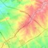
Zone IV

Pakistan > Islamabad Capital Territory

Average elevation: 647 m

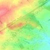
Simly

Pakistan > Islamabad Capital Territory > Tijal

Average elevation: 745 m

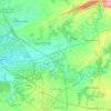
I-16

Pakistan > Islamabad Capital Territory

Average elevation: 522 m

Zone IV

Pakistan > Islamabad Capital Territory

Average elevation: 647 m

Zone 2

Pakistan > Islamabad Capital Territory

Average elevation: 558 m

Zone III

Pakistan > Islamabad Capital Territory

Average elevation: 659 m

Zone V

Pakistan > Islamabad Capital Territory

Average elevation: 522 m

Zone 1

Pakistan > Islamabad Capital Territory

Average elevation: 599 m

Gear up for your next adventure:

🧥Breathable Waterproof Jackets - Essential rain protection for the unpredictable British climate
GPS Outdoor Watches - Watches with GPS tracking for hiking and exploration
📱Phone Mounts for Hiking - Secure mounts to carry your phone on trails
🚶Walking Pedometers - Simple distance tracking for casual trail walkers
🦯Walking Poles - Supportive poles for long-distance walking

As an Amazon Associate, this site earns from qualifying purchases at no extra cost to you.