
Middle River topographic map
Interactive map
Click on the map to display elevation.
About this map
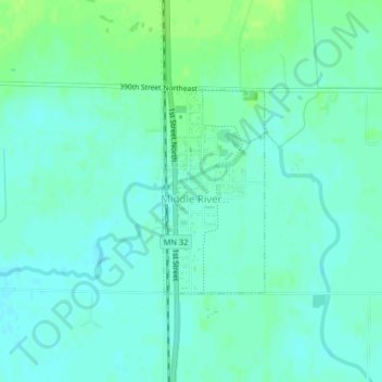
Name: Middle River topographic map, elevation, terrain.
Location: Middle River, Marshall County, Minnesota, United States (48.42758 -96.16717 48.44208 -96.15627)
Average elevation: 350 m
Minimum elevation: 345 m
Maximum elevation: 357 m