
Strömstorp topographic map
Interactive map
Click on the map to display elevation.
About this map
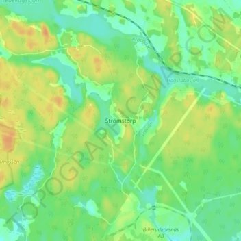
Name: Strömstorp topographic map, elevation, terrain.
Location: Strömstorp, Lindesbergs kommun, Örebro County, 711 72, Sweden (59.47731 15.29820 59.51731 15.33820)
Average elevation: 55 m
Minimum elevation: 41 m
Maximum elevation: 71 m
Other topographic maps
Click on a map to view its topography, its elevation and its terrain.