
Konterra topographic map
Interactive map
Click on the map to display elevation.
About this map
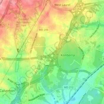
Name: Konterra topographic map, elevation, terrain.
Location: Konterra, Prince George's County, Maryland, United States (39.05079 -76.93038 39.10360 -76.86836)
Average elevation: 86 m
Minimum elevation: 37 m
Maximum elevation: 149 m