
Negele topographic map
Interactive map
Click on the map to display elevation.
About this map
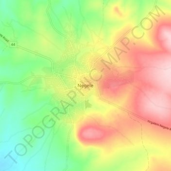
Name: Negele topographic map, elevation, terrain.
Location: Negele, Borena, Ethiopia (5.29282 39.54066 5.37282 39.62066)
Average elevation: 1,494 m
Minimum elevation: 1,384 m
Maximum elevation: 1,618 m