
Zeulenroda-Triebes topographic map
Interactive map
Click on the map to display elevation.
About this map
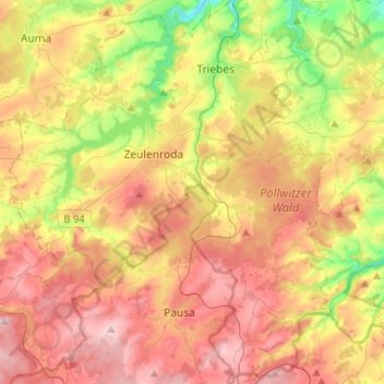
Name: Zeulenroda-Triebes topographic map, elevation, terrain.
Location: Zeulenroda-Triebes, Greiz, Thuringia, Germany (50.54925 11.88092 50.71513 12.10147)
Average elevation: 421 m
Minimum elevation: 284 m
Maximum elevation: 549 m
Other topographic maps
Click on a map to view its topography, its elevation and its terrain.