
Ig topographic map
Interactive map
Click on the map to display elevation.
About this map
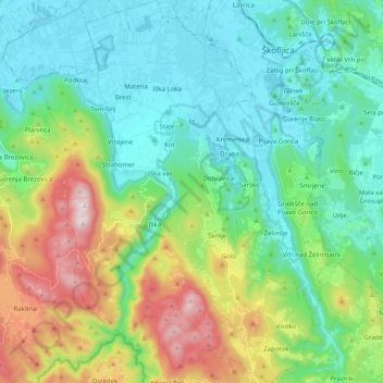
Name: Ig topographic map, elevation, terrain.
Location: Ig, Upravna Enota Ljubljana, 1292, Slovenia (45.86391 14.44610 46.00308 14.59173)
Average elevation: 499 m
Minimum elevation: 280 m
Maximum elevation: 1,094 m