Geolocate

Bushra topographic map

Click on the map to display elevation.

About this map
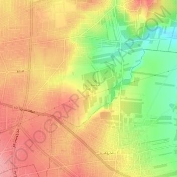
Name: Bushra topographic map, elevation, terrain.

Location: Bushra, حوارة, Irbid Qasabah District, Irbid, 21141, Jordan (32.52819 35.87814 32.56819 35.91814)

Average elevation: 542 m

Minimum elevation: 477 m

Maximum elevation: 586 m

Gear up for your next adventure:

📻Hand-Crank Emergency Radios - Stay updated on weather warnings in remote areas
🧺Mesh Stuff Sacks - Breathable storage for wet gear or camp organization
📐Altimeters & Barometers - Tools for measuring altitude and air pressure
🛌Insulated Sleeping Mats - Crucial thermal protection when sleeping on cold, uneven ground
🧢Waterproof Hiking Hats - Keep the rain off your face while studying topographic maps

As an Amazon Associate, this site earns from qualifying purchases at no extra cost to you.