
Río Verde topographic map
Interactive map
Click on the map to display elevation.
About this map
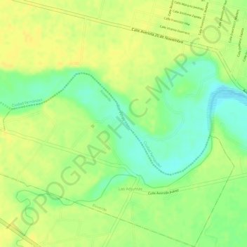
Name: Río Verde topographic map, elevation, terrain.
Location: Río Verde, Ciudad Fernández, San Luis Potosí, Mexico (21.96234 -100.07264 21.97345 -100.04923)
Average elevation: 1,007 m
Minimum elevation: 991 m
Maximum elevation: 1,015 m