
Císař topographic map
Interactive map
Click on the map to display elevation.
About this map
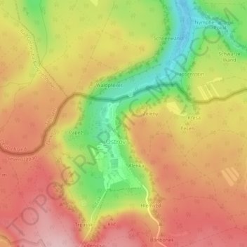
Name: Císař topographic map, elevation, terrain.
Location: Císař, Jílové, okres Děčín, Ústecký kraj, 403 36, Czechia (50.80751 14.04906 50.80761 14.04916)
Average elevation: 512 m
Minimum elevation: 402 m
Maximum elevation: 590 m