Geolocate

Sampeyre topographic map

Click on the map to display elevation.

About this map
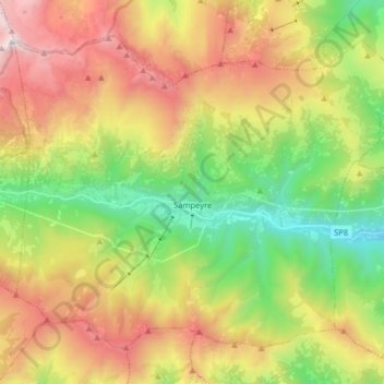
Name: Sampeyre topographic map, elevation, terrain.

Location: Sampeyre, Cuneo, Piedmont, Italy (44.53717 7.11423 44.62988 7.27442)

Average elevation: 1,720 m

Minimum elevation: 752 m

Maximum elevation: 2,981 m

Gear up for your next adventure:

🎒Hiking Child Carriers - Explore the outdoors with the whole family safely
⌚GPS Outdoor Watches - Watches with GPS tracking for hiking and exploration
🥾Hiking Boots - Waterproof and durable boots for long-distance hiking in the UK
🎒Hiking Daypacks - Compact backpacks ideal for short hikes and excursions
📍Handheld GPS Navigators - Reliable satellite navigation for hiking and off-road exploration

As an Amazon Associate, this site earns from qualifying purchases at no extra cost to you.