
south purbachal canal topographic map
Interactive map
Click on the map to display elevation.
About this map
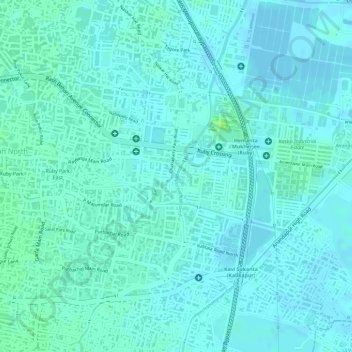
Name: south purbachal canal topographic map, elevation, terrain.
Average elevation: 4 m
Minimum elevation: -3 m
Maximum elevation: 12 m
Other topographic maps
Click on a map to view its topography, its elevation and its terrain.
Alipore Zoo
India > West Bengal > Kolkata
Alipore Zoo, Alipore, Kolkata, Kolkata District, West Bengal, India
Average elevation: 9 m
South Dumdum
India > West Bengal > Kolkata > South Dumdum
South Dumdum, Kolkata, West Bengal, 700002, India
Average elevation: 7 m
Kankurgachi Park
India > West Bengal > Kolkata
Kankurgachi Park, Maniktala, Kolkata, West Bengal, India
Average elevation: 6 m