Geolocate

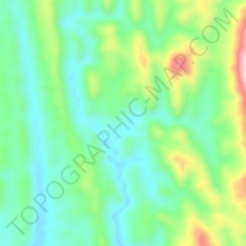
Sajek topographic map

Click on the map to display elevation.

Sajek

Sajek Valley (Bengali: সাজেক উপত্যকা) is a popular tourist spot in Bangladesh, situated among the hills of the Kasalong range of mountains in the northern area of the Chittagong Hill Tracts. Referred to as the "Queen of Hills" and the "Roof of Rangamati", the valley is known for its greenery and dense forests, situated at an elevation of 1,800 feet (550 m) above sea level.

Wikipedia (CC-BY-SA 3.0)

About this map

Name: Sajek topographic map, elevation, terrain.

Location: Sajek, Bagaichhari Upazila, Rangamati Hill District, Chittagong Division, 4590, Bangladesh (23.36572 92.27205 23.40572 92.31205)

Average elevation: 209 m

Minimum elevation: 82 m

Maximum elevation: 535 m

Gear up for your next adventure:

❄️Walking Crampons - Added traction for icy slopes and winter peak bagging
📷Camera Straps - Secure straps for carrying cameras while walking
🧦Hiking Socks - Breathable socks designed to prevent blisters on long walks
🎒Hiking Child Carriers - Explore the outdoors with the whole family safely
🧷Tenacious Repair Tape - Instant fix for torn tents, jackets, or dry bags

As an Amazon Associate, this site earns from qualifying purchases at no extra cost to you.