
Ranjit Sagar Dam topographic map
Interactive map
Click on the map to display elevation.
About this map
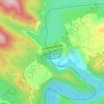
Name: Ranjit Sagar Dam topographic map, elevation, terrain.
Average elevation: 533 m
Minimum elevation: 390 m
Maximum elevation: 777 m
Other topographic maps
Click on a map to view its topography, its elevation and its terrain.
Nagri Parole
India > Jammu and Kashmir > Kathua
Nagri Parole, Kathua, Kathua District, Jammu and Kashmir, India
Average elevation: 290 m