
Portland topographic map
Interactive map
Click on the map to display elevation.
About this map
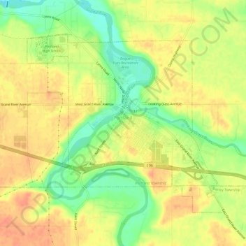
Name: Portland topographic map, elevation, terrain.
Location: Portland, Ionia County, Michigan, 48875, United States (42.85244 -84.92607 42.88392 -84.86706)
Average elevation: 233 m
Minimum elevation: 207 m
Maximum elevation: 250 m