

Mount Monadnock topographic map
Click on the map to display elevation.
Mount Monadnock
From the base to the summit, floral species diminish with increasingly shallow soil levels. The summit is home to many different specialized sub-alpine species which can retain moisture for long periods of time. Alpine and sub-alpine species include mountain ash, cotton grass, sheep laurel, mountain sandwort, and the mountain cranberry. Krummholz, trees stunted by harsh weather, are found on Mount Monadnock, as are several alpine bogs. Lower elevations on Mount Monadnock are clad in northern hardwood forest species; middle elevations support stands of red spruce. Before the fires, Mount Monadnock was totally covered in a red spruce forest. Since the summit has been barren of soil cover, red spruce have been slowly ascending back towards the top in a process known as ecological succession.
About this map
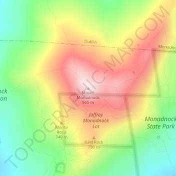
Name: Mount Monadnock topographic map, elevation, terrain.
Average elevation: 687 m
Minimum elevation: 447 m
Maximum elevation: 952 m