
Des Allemands topographic map
Interactive map
Click on the map to display elevation.
About this map
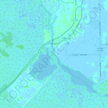
Name: Des Allemands topographic map, elevation, terrain.
Average elevation: 1 m
Minimum elevation: -4 m
Maximum elevation: 5 m
Other topographic maps
Click on a map to view its topography, its elevation and its terrain.
Destrehan
United States > Louisiana > St. Charles Parish
Destrehan, St. Charles Parish, Louisiana, 70047, United States
Average elevation: 3 m