
Arcozelo topographic map
Interactive map
Click on the map to display elevation.
About this map
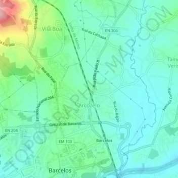
Name: Arcozelo topographic map, elevation, terrain.
Location: Arcozelo, Barcelos, Braga, Portugal (41.53019 -8.62013 41.56002 -8.59772)
Average elevation: 38 m
Minimum elevation: 2 m
Maximum elevation: 155 m
Other topographic maps
Click on a map to view its topography, its elevation and its terrain.
Abade de Neiva
Abade de Neiva, Barcelos, Braga, Portugal
Average elevation: 109 m