Geolocate

Paragould topographic map

Click on the map to display elevation.

About this map

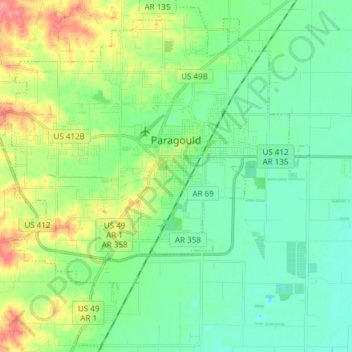
Name: Paragould topographic map, elevation, terrain.

Location: Paragould, Greene County, Arkansas, United States (35.98729 -90.59061 36.10455 -90.44014)

Average elevation: 91 m

Minimum elevation: 67 m

Maximum elevation: 149 m

Other topographic maps

Click on a map to view its topography, its elevation and its terrain.

Beech Grove

United States > Arkansas > Greene County

Average elevation: 105 m

Big Island

United States > Arkansas > Greene County

Average elevation: 84 m

Gear up for your next adventure:

🌄Compact Monoculars - Lightweight optics for hiking
🎒Multi-day Trekking Packs - Large capacity backpacks for wild camping and long-distance trails
🎒Hiking Backpacks - Comfortable backpacks for day hikes and multi-day treks
🧥Packable Down Jackets - Lightweight warmth that compresses small in your bag
🥼Base Layers - Thermal base layers for temperature regulation

As an Amazon Associate, this site earns from qualifying purchases at no extra cost to you.