
Kents Store topographic map
Interactive map
Click on the map to display elevation.
About this map
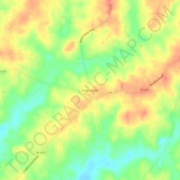
Name: Kents Store topographic map, elevation, terrain.
Location: Kents Store, Fluvanna County, Virginia, United States (37.85931 -78.14889 37.89931 -78.10889)
Average elevation: 115 m
Minimum elevation: 86 m
Maximum elevation: 139 m