
Rossville topographic map
Interactive map
Click on the map to display elevation.
About this map
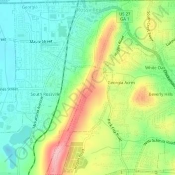
Name: Rossville topographic map, elevation, terrain.
Location: Rossville, Walker County, Georgia, United States of America (34.95573 -85.30596 34.98500 -85.27215)
Average elevation: 251 m
Minimum elevation: 191 m
Maximum elevation: 352 m