
Lanež topographic map
Interactive map
Click on the map to display elevation.
About this map
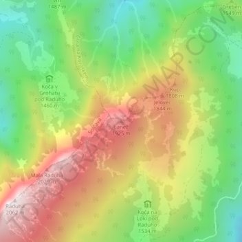
Name: Lanež topographic map, elevation, terrain.
Location: Lanež, Luče, Slovenia (46.41860 14.75477 46.41870 14.75487)
Average elevation: 1,574 m
Minimum elevation: 1,170 m
Maximum elevation: 2,045 m