
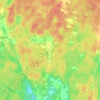
Abborremåla topographic map
Interactive map
Click on the map to display elevation.
About this map
Name: Abborremåla topographic map, elevation, terrain.
Location: Abborremåla, Ronneby kommun, Blekinge County, Sweden (56.36516 15.11686 56.40516 15.15686)
Average elevation: 115 m
Minimum elevation: 87 m
Maximum elevation: 132 m
Other topographic maps
Click on a map to view its topography, its elevation and its terrain.