
Hưng Long topographic map
Interactive map
Click on the map to display elevation.
About this map
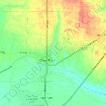
Name: Hưng Long topographic map, elevation, terrain.
Location: Hưng Long, Chơn Thành Town, Bình Phước Province, Vietnam (11.39473 106.57899 11.45573 106.65770)
Average elevation: 62 m
Minimum elevation: 40 m
Maximum elevation: 90 m