

Aflou topographic map
Click on the map to display elevation.
Aflou
Aflou (Berber language: Aflu, Arabic: أفلو) is a town and commune in Laghouat Province, Algeria. It is located in the Amour Range of the Saharan Atlas, at an elevation of 1,426 m (4,678 ft), which makes it one of the highest towns in Algeria. Aflou is the capital of Aflou District. Its population in 1998 was 48,000.
About this map
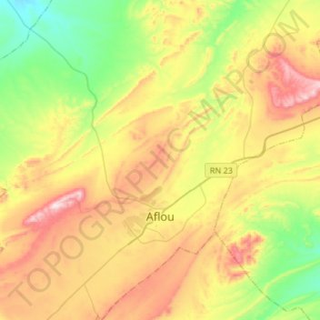
Name: Aflou topographic map, elevation, terrain.
Location: Aflou, Aflou District, Aflou, 03400, Algeria (34.04110 2.01418 34.26277 2.24284)
Average elevation: 1,385 m
Minimum elevation: 1,147 m
Maximum elevation: 1,712 m
Other topographic maps
Click on a map to view its topography, its elevation and its terrain.
