

Prievidza topographic map
Click on the map to display elevation.
Prievidza
Prievidza lies at an altitude of 280 metres (919 ft) above sea level and covers an area of 43.06 square kilometres (16.6 sq mi). The city is situated very near the smaller but more famous town of Bojnice, actually sharing the public transport system. The valley of the Nitra River, in which the city lies, is surrounded by mountain ranges on all sides, in the west Strážov Mountains, in the north Malá Fatra, in the east Žiar and in the south Vtáčnik. Prievidza is the eleventh largest city in Slovakia. It is located around 60 kilometres (37 mi) south of Žilina, 69 kilometres (43 mi) east of the regional capital Trenčín and 158 kilometres (98 mi) from capital city of Slovakia Bratislava (by road).
About this map
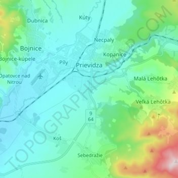
Name: Prievidza topographic map, elevation, terrain.
Average elevation: 346 m
Minimum elevation: 247 m
Maximum elevation: 815 m