Geolocate

3d topographic map

Click on the map to display elevation.

About this map
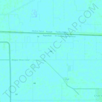
Name: 3d topographic map, elevation, terrain.

Location: 3d, 1 LNP, Ganganagar Tehsil, Sri Ganganagar, Rajasthan, India (29.94505 73.91816 29.98505 73.95816)

Average elevation: 178 m

Minimum elevation: 176 m

Maximum elevation: 180 m

Gear up for your next adventure:

🔋Power Banks - Portable chargers for long outdoor trips
🧭Orienteering Compasses - Accurate compasses for map-based navigation
🧭Professional Hiking Compasses - High-precision liquid-filled compasses for map reading and orientation
🦯Walking Poles - Supportive poles for long-distance walking
🎒Hiking Child Carriers - Explore the outdoors with the whole family safely

As an Amazon Associate, this site earns from qualifying purchases at no extra cost to you.