Geolocate

Sanwer topographic map

Click on the map to display elevation.

About this map

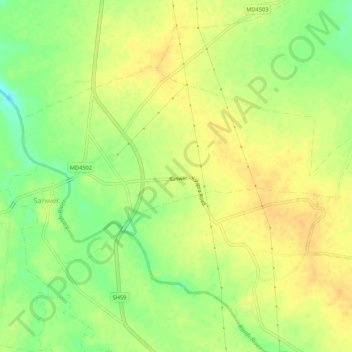
Name: Sanwer topographic map, elevation, terrain.

Location: Sanwer, Sanwer Tahsil, Indore, Madhya Pradesh, India (22.96264 75.82116 22.99335 75.87443)

Average elevation: 511 m

Minimum elevation: 493 m

Maximum elevation: 521 m

Gear up for your next adventure:

🛰️Handheld GPS Devices - Reliable GPS units for hiking and outdoor navigation
Altimeter Watches - Watches measuring altitude for mountain activities
🦯Walking Poles - Supportive poles for long-distance walking
📍Handheld GPS Navigators - Reliable satellite navigation for hiking and off-road exploration
🎒Hiking Daypacks - Compact backpacks ideal for short hikes and excursions

As an Amazon Associate, this site earns from qualifying purchases at no extra cost to you.