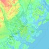
Savannah topographic map
Click on the map to display elevation.
Savannah
Savannah is prone to flooding, due to abundant rainfall, an elevation at just above sea level, and the shape of the coastline, which poses a greater surge risk during hurricanes. The city currently uses five canals. In addition, several pumping stations have been built to help reduce the effects of flash flooding.
About this map
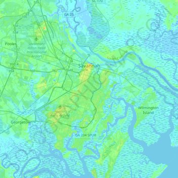
Name: Savannah topographic map, elevation, terrain.
Location: Savannah, Chatham County, Georgia, United States (31.88785 -81.37143 32.18966 -81.02952)
Average elevation: 4 m
Minimum elevation: -5 m
Maximum elevation: 33 m
Other topographic maps
Click on a map to view its topography, its elevation and its terrain.