Geolocate

Clapham topographic map

Click on the map to display elevation.

About this map
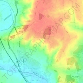
Name: Clapham topographic map, elevation, terrain.

Location: Clapham, Bedford, England, United Kingdom (52.15650 -0.51512 52.19239 -0.46670)

Average elevation: 60 m

Minimum elevation: 30 m

Maximum elevation: 90 m

Bedford trails, hiking, mountain biking, running and outdoor activities

Gear up for your next adventure:

🧵Survival Paracord - Multi-purpose cordage for emergency repairs and shelters
⌚Altimeter Watches - Watches measuring altitude for mountain activities
🎒Backpack Rain Covers - Universal waterproof covers to protect your gear from downpours
🧼Technical Clothing Wash - Special soap to clean and restore waterproof membranes
🧣Neck Gaiters - Protects against wind and sun on exposed ridges and peaks

As an Amazon Associate, this site earns from qualifying purchases at no extra cost to you.