Geolocate

Chia topographic map

Click on the map to display elevation.

About this map
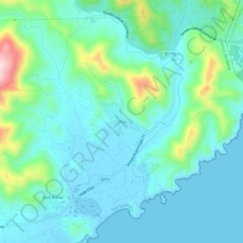
Name: Chia topographic map, elevation, terrain.

Location: Chia, Domus De Maria, Sud Sardegna, Sardinia, 09010, Italy (38.89057 8.86185 38.93057 8.90185)

Average elevation: 54 m

Minimum elevation: -3 m

Maximum elevation: 272 m

Gear up for your next adventure:

⌚Altimeter Watches - Watches measuring altitude for mountain activities
🧥Softshell Jackets - Breathable jackets for active outdoor use
🧭Orienteering Compasses - Accurate compasses for map-based navigation
👟Waterproof Leg Gaiters - Keep mud and water out of your boots in boggy terrain
🛌Insulated Sleeping Mats - Crucial thermal protection when sleeping on cold, uneven ground

As an Amazon Associate, this site earns from qualifying purchases at no extra cost to you.