
Chalat topographic map
Interactive map
Click on the map to display elevation.
About this map
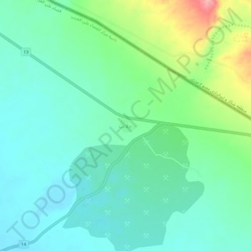
Name: Chalat topographic map, elevation, terrain.
Location: Chalat, Western Ali District, Maysan Governorate, Iraq (32.57867 46.90781 32.61867 46.94781)
Average elevation: 90 m
Minimum elevation: 57 m
Maximum elevation: 181 m