
North Bethesda topographic map
Interactive map
Click on the map to display elevation.
About this map
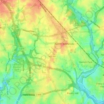
Name: North Bethesda topographic map, elevation, terrain.
Location: North Bethesda, Montgomery County, Maryland, United States (39.00704 -77.15518 39.07438 -77.08438)
Average elevation: 98 m
Minimum elevation: 61 m
Maximum elevation: 147 m