
Hamda topographic map
Interactive map
Click on the map to display elevation.
About this map
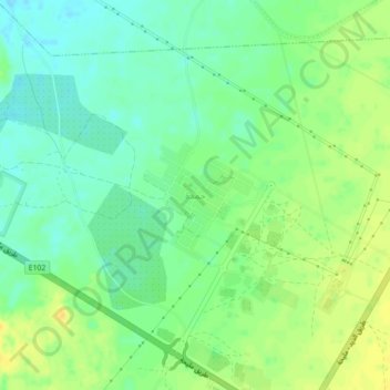
Name: Hamda topographic map, elevation, terrain.
Location: Hamda, Milehah, Sharjah Emirate, United Arab Emirates (25.14850 55.85751 25.18850 55.89751)
Average elevation: 146 m
Minimum elevation: 134 m
Maximum elevation: 160 m
Other topographic maps
Click on a map to view its topography, its elevation and its terrain.
Fossil Rock
United Arab Emirates > Sharjah Emirate > Milehah
Fossil Rock, Milehah, Sharjah Emirate, United Arab Emirates
Average elevation: 202 m