
Epson topographic map
Interactive map
Click on the map to display elevation.
About this map
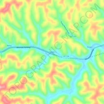
Name: Epson topographic map, elevation, terrain.
Location: Epson, Magoffin County, Kentucky, United States (37.72454 -83.23768 37.76454 -83.19768)
Average elevation: 322 m
Minimum elevation: 254 m
Maximum elevation: 407 m
Other topographic maps
Click on a map to view its topography, its elevation and its terrain.
Gunlock
United States > Kentucky > Magoffin County
Gunlock, Magoffin County, Kentucky, 41632, United States
Average elevation: 365 m