Geolocate

Keshabpur topographic map

Click on the map to display elevation.

About this map

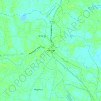
Name: Keshabpur topographic map, elevation, terrain.

Location: Keshabpur, Jessore District, Khulna Division, 7450, Bangladesh (22.86697 89.17871 22.94697 89.25871)

Average elevation: 4 m

Minimum elevation: -3 m

Maximum elevation: 8 m

Gear up for your next adventure:

📷Camera Straps - Secure straps for carrying cameras while walking
🧺Microfibre Travel Towels - Fast-drying and compact towels for wild swimming and camping
📱Phone Mounts for Hiking - Secure mounts to carry your phone on trails
📚UK Hiking Guidebooks - Detailed route descriptions for the Lake District, Peaks, and Highlands
🧭GPS Trackers - Tracking devices for safety and navigation

As an Amazon Associate, this site earns from qualifying purchases at no extra cost to you.