
Huangshan District topographic map
Interactive map
Click on the map to display elevation.
About this map
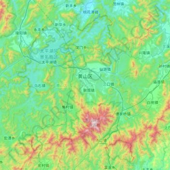
Name: Huangshan District topographic map, elevation, terrain.
Location: Huangshan District, Huangshan, Anhui, 242700, China (29.99061 117.81872 30.51939 118.35410)
Average elevation: 405 m
Minimum elevation: 50 m
Maximum elevation: 1,800 m