
Teregali topographic map
Interactive map
Click on the map to display elevation.
About this map
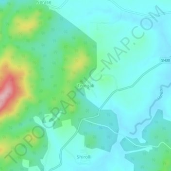
Name: Teregali topographic map, elevation, terrain.
Location: Teregali, Khanapura taluku, Belgaum district, Karnataka, India (15.56005 74.41904 15.60005 74.45904)
Average elevation: 695 m
Minimum elevation: 655 m
Maximum elevation: 842 m
Other topographic maps
Click on a map to view its topography, its elevation and its terrain.
Khemevadi
India > Karnataka > Khanapura taluku > Ganebaila
Khemevadi, Ganebaila, Khanapura taluku, Belgaum district, Karnataka, 591302, India
Average elevation: 681 m
Harasanavadi
India > Karnataka > Khanapura taluku
Harasanavadi, Khanapura taluku, Belgaum district, Karnataka, 591302, India
Average elevation: 694 m