Geolocate

Calamandrana topographic map

Click on the map to display elevation.

About this map
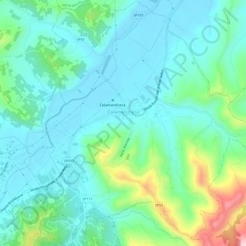
Name: Calamandrana topographic map, elevation, terrain.

Location: Calamandrana, Asti, Piedmont, 14042, Italy (44.71378 8.30998 44.75625 8.36817)

Average elevation: 203 m

Minimum elevation: 139 m

Maximum elevation: 428 m

Other topographic maps

Click on a map to view its topography, its elevation and its terrain.

Gatti

Italy > Piedmont > Asti > Rocchetta Tanaro

Average elevation: 165 m

Sant'Andrea

Italy > Piedmont > Asti > Cerreto d'Asti

Average elevation: 270 m

Zolfo

Italy > Piedmont > Asti > Montafia

Average elevation: 226 m

Gear up for your next adventure:

🗺️Scratch-off Peak Maps - Track your progress climbing Munros or Wainwrights
🧢Waterproof Hiking Hats - Keep the rain off your face while studying topographic maps
🥾Hiking Boots - Waterproof and durable boots for long-distance hiking in the UK
🔦Keychain LED Torches - Emergency backup light for finding gear in your pack
🧤Hiking Gloves - Warm and durable gloves for cold-weather walks

As an Amazon Associate, this site earns from qualifying purchases at no extra cost to you.